Today you are going to work OpenStreetMap data.
Downloading the Data.
You can access OpenStreetMap data by downloading it from Geofabrik. For this tutorial though we will downloading directly from within QGIS.
- Open QGIS and install the QuickOSM and the QuickMapService plugins. On the main menu in QGIS: Plugins > Manage and Install Plugins… Search for the QuickOSM and QuickMapService plugins and install them.
- Load the OSM standard web tile from the QuickMapService plugin
- Web > QuickMapService > OSM > OSM Standard
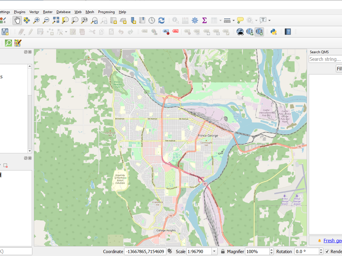
- Center your view port around Prince George, BC roughly as shown below
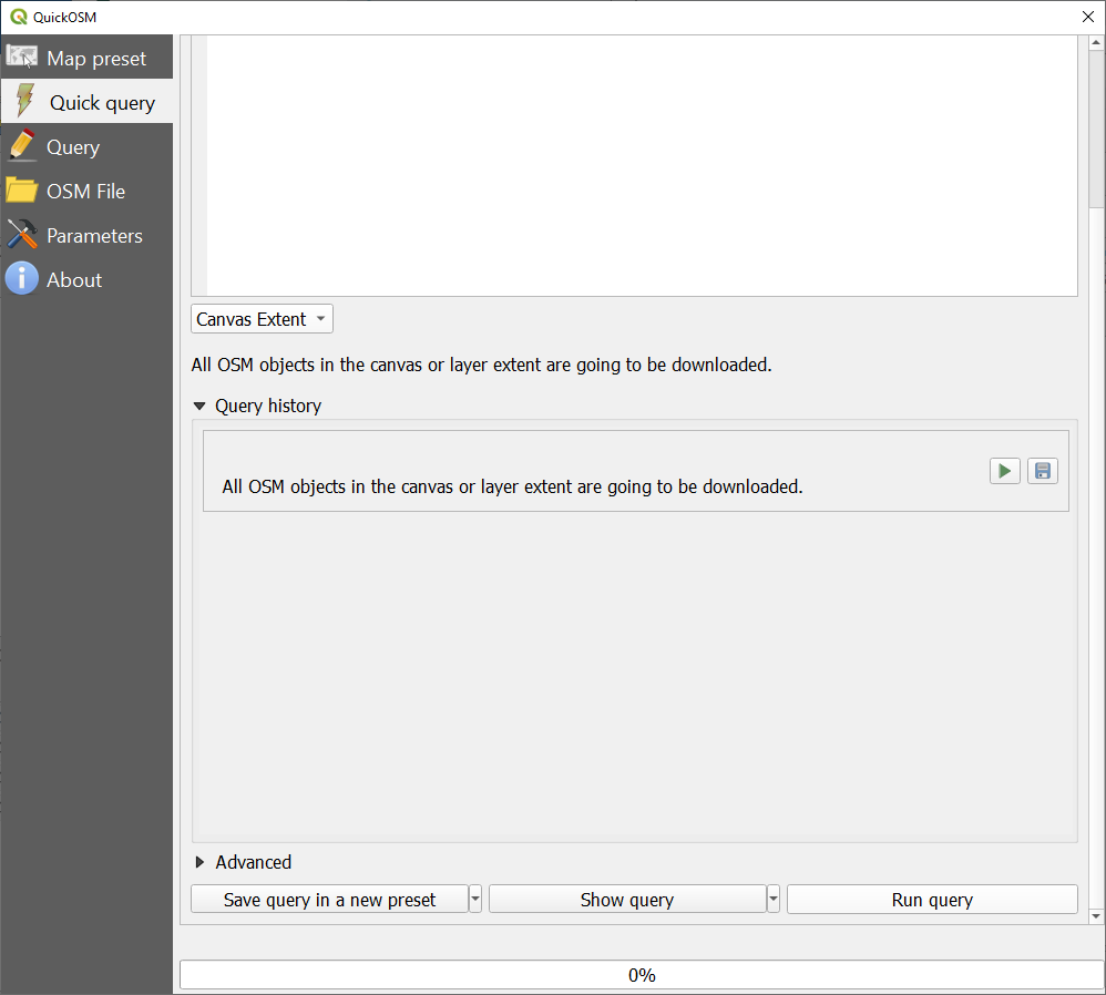
Go to Vector > QuickOSM. Choose the Canvas Extent and Run the Query.
- You should now have four layers downloaded. Rename these layers to better understand what they represent.
- Line Layers
- Check out the attributes of the two lines to determine which line layers has only major lines (less number of features). Rename this layer as “major_lines“. Repeat this for the other line layer, but name it “all_lines“.
- Point Layers
- Name the point layers “poi” (points of interests)
- Polygon Layers
- Name the polygon layers “osm_areas“
- Line Layers
- Now save your files as shapefiles in a folder on your K-drive
- Rightclick on each layer and Export > Save Feature As..