To view an index of UNBC’s air-photo collection you can connect to the database through QGIS.
In the QGIS file browser right click on PostGIS then select “New connection”
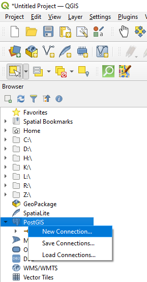
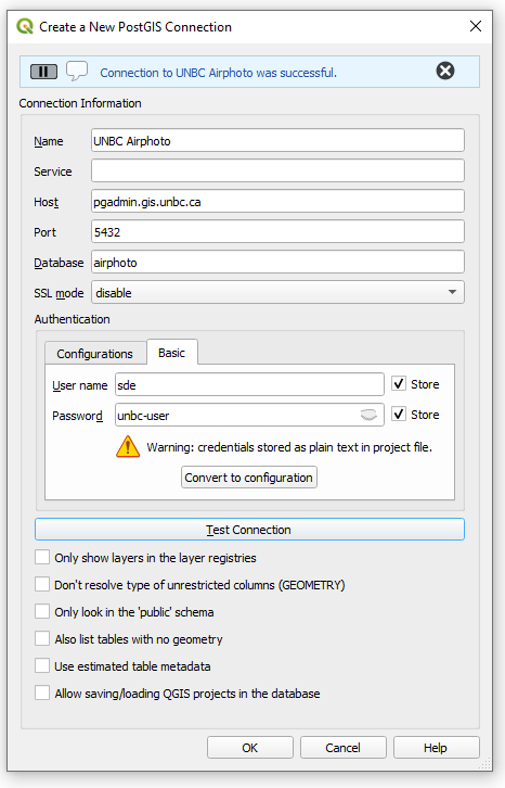
You may name the connection whatever you like
Host: pgadmin.gis.unbc.ca
Port: 5432
Database: airphoto
Use basic authentication with Username: sde, and Password: unbc-user
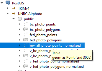
Expand the new database, inside public, double click on “mv_all_photo_points_normalized”
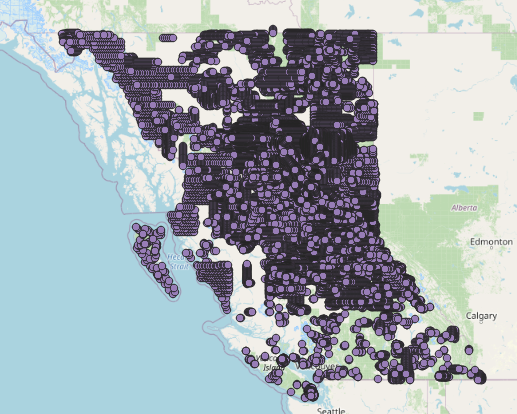
The entire photo library will be displayed on the map
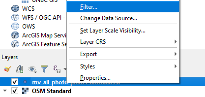
Filter by date
To restrict your search to a specific date range, right click on your newly added layer and select Filter
Build a query to define the date range, you can click on fields to auto type them. as an example the below code will return photos taken after June, 6th, 1937, and before September, 11th, 1960.
"exposure_date" > '1937/06/06' AND "exposure_date" < '1960/09/11'
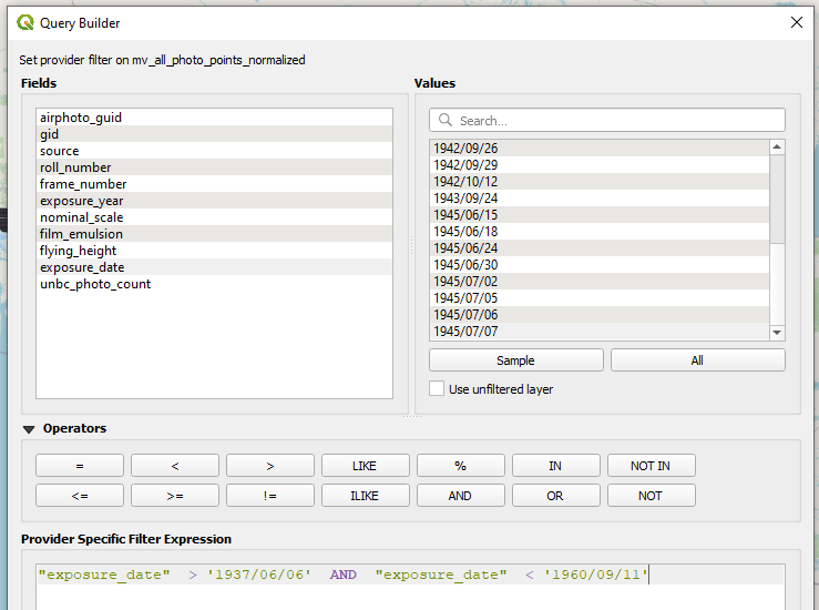
Press test, and if there are no errors ok to close the filter menu.
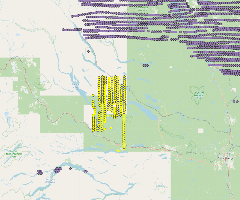
Filter by Area
With the date filter in place you can use the selection tool to select the photos in a geographic region

View your results
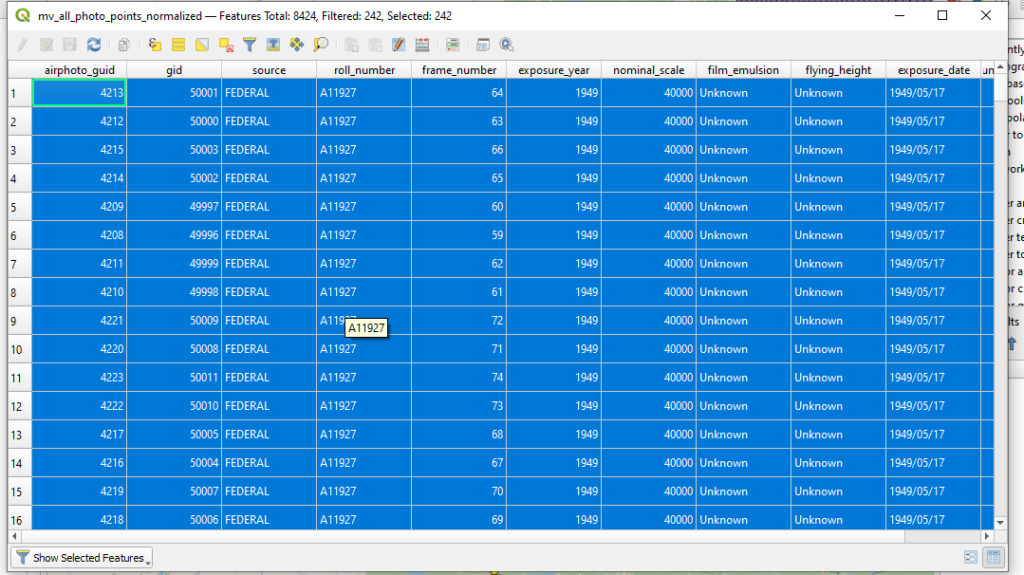
Finally to view your photos right click on mv_all_photo_points_normalized and open the attribute table
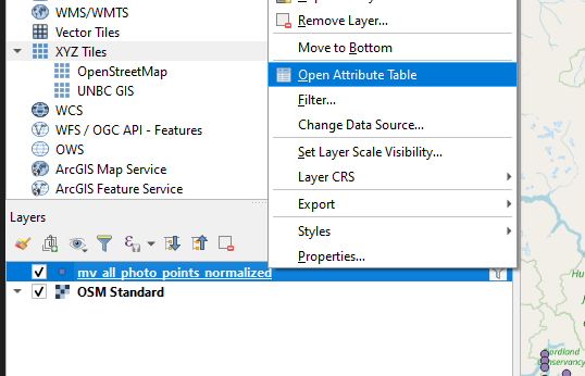
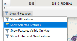
Set the show button to show selected features
You will then be presented with a list of the photos that match your criteria
Finally if you want to export your list of photos there is a copy button on the top of the attribute viewer.

Photos not available at UNBC
You can also view the entire catalog of images from the BC government in the table bc_photo_points, or the federal photos in fed_photo_points. These photos may be available through inter library loan or via the respective agency directly.